

- Monthly visits
- 15,610
- 2026-10
- Monthly growth +309.3%
Waldo - Ask spatial questions and turn results into data pipelines
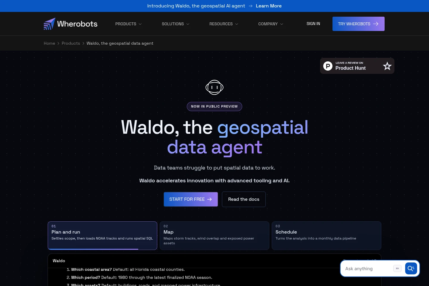
Waldo is a geospatial AI agent in Wherobots Cloud. It accepts questions in plain English, finds relevant spatial datasets, generates and tests spatial SQL and analytics code, and builds maps for inspection. Users can schedule analyses as data pipelines and deliver results to Iceberg-compatible platforms. Waldo is in public preview; its tokens are limited, and compute usage is charged separately.
- AI Data Tools
- Data Analysis
- Data Visualization
- General AI Agents
- Insurance
- Agriculture
- geospatial AI agent
- spatial SQL assistant
- geospatial data pipelines
Capabilities
Spatial dataset discovery
Finds relevant datasets and checks their schemas before preparing a query. It searches public and private catalog data, including raster and vector sources, and can read Iceberg tables on Amazon S3 and foreign catalogs such as Databricks Unity Catalog and AWS Glue Data Catalog.
Spatial reasoning and analysis
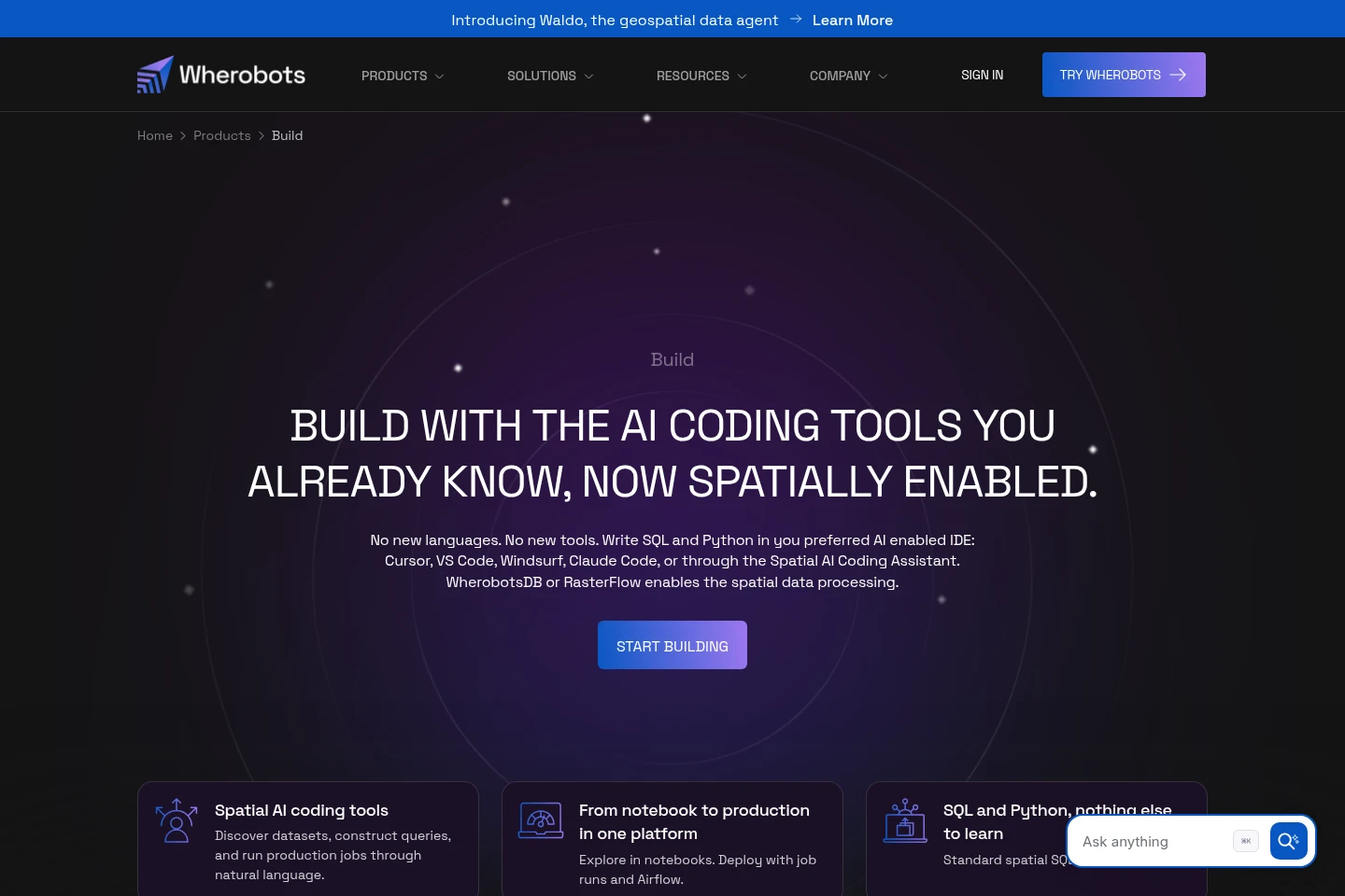
Generates and tests spatial analytics code from natural-language requests. It reasons about relationships between spatial and temporal features, then runs spatial SQL and inference using WherobotsDB and RasterFlow where appropriate.
Map creation
Builds maps that let users inspect analysis stages and results. It can visualize spatial outputs including PMTiles, Zarr, and GeoParquet, after selecting data, preparing formats, and running analysis.
Scheduled pipeline delivery
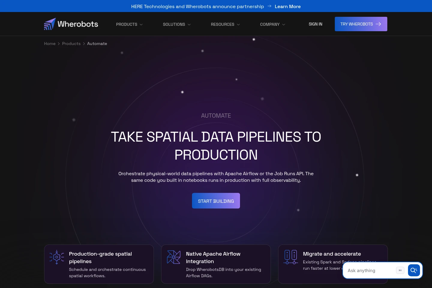
Turns an analysis into a scheduled spatial data pipeline and delivers data products to Iceberg-compatible platforms. The resulting data can be queried by other engines without copying it; compute usage driven by Waldo is charged separately.
Pricing
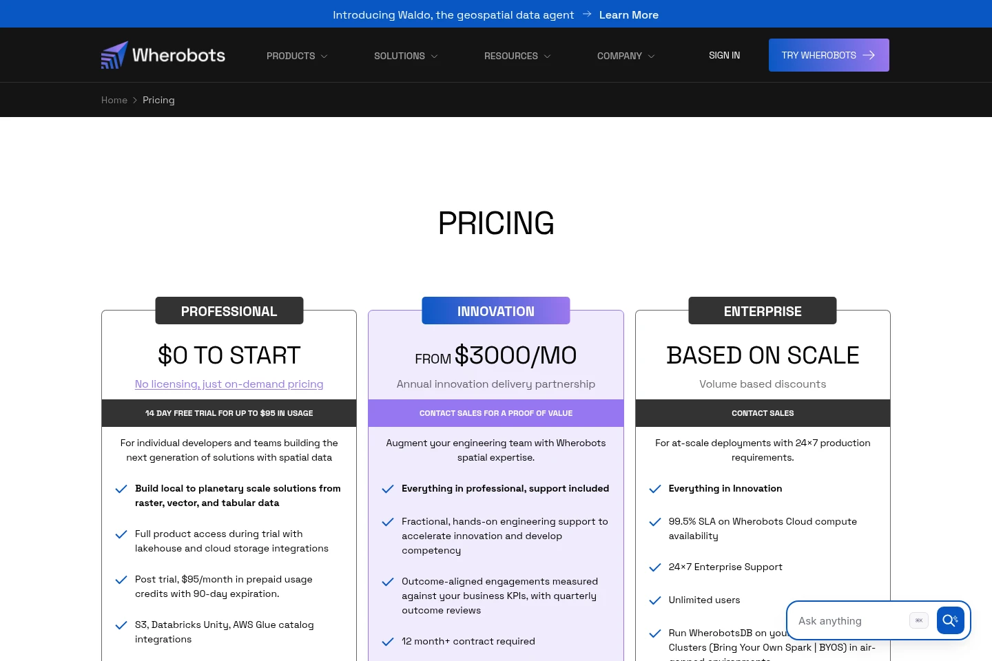
Wherobots offers a free trial and paid plans, with subscription and usage charges depending on the plan. Compare included credits, compute usage, support, contract requirements, and deployment options.
| Plan | Price | Included features and limits |
|---|---|---|
| Professional | $0 to start; 14-day free trial |
|
| Innovation | From $3,000/month |
|
| Enterprise | Based on scale |
|
| Premium Support | $1,000/month |
|
Professional usage after the trial is prepaid in monthly credits that expire after 90 days. Innovation requires an annual partnership and a contract of at least 12 months.
Use cases
Answer questions about spatial data
When a data team needs an answer from spatial datasets, it can ask a question in plain English. Waldo locates relevant data, checks schemas, generates and runs spatial SQL or analytics code, and returns results that can be inspected on a map.
Create a recurring spatial data pipeline
When an analysis needs to be repeated on a schedule, users can turn it into a data pipeline. Waldo uses the selected datasets and analysis to produce scheduled results and deliver data products into Iceberg-compatible platforms for other engines to query.
Analyze imagery with spatial data
When a workflow requires analysis of imagery alongside vector or tabular data, users can ask Waldo to coordinate the relevant steps. It can use RasterFlow for imagery inference, WherobotsDB for raster and vector queries, and Maps to visualize results.
Limitations
Waldo is in public preview, and the product warns that it can make mistakes; users should verify important results.
Waldo tokens are limited, and tokens are included in the free trial and Wherobots Professional edition at no additional cost.
Waldo does not make compute free: users pay for WherobotsDB and RasterFlow usage driven by Waldo.
Who it is for
Spatial data teams that need to query and analyze geospatial datasets
GIS and data engineers building repeatable spatial analyses and pipelines
Geospatial analysts who want to inspect spatial analysis results on maps
FAQ
What does Waldo do with a natural-language request?
It can find relevant datasets, check schemas, generate and test spatial analytics code, run analysis, build maps, and schedule data pipelines. Users should verify important results because Waldo can make mistakes.
Which data sources can Waldo read?
It reads Iceberg tables on Amazon S3 and foreign catalogs such as Databricks Unity Catalog and AWS Glue Data Catalog. It also works with GeoParquet, GeoTIFF, and Zarr.
Does using Waldo include compute at no cost?
No. Waldo tokens are included in the free trial and Wherobots Professional edition at no additional cost, but tokens are limited. WherobotsDB and RasterFlow usage driven by Waldo is charged separately.
Where can Waldo deliver data products?
Waldo delivers data products into Iceberg-compatible platforms. Other engines can query those results without copying the data.
Is Waldo generally available?
No. The product page identifies Waldo as being in public preview.
Comments