

- Monthly visits
- 243,742
- 2026-09
- Monthly growth +44.3%
Mappedin - Indoor maps connecting visitors, teams, and building systems
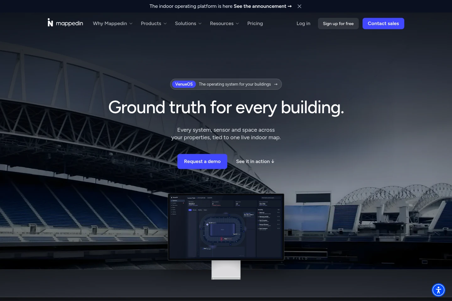
Mappedin turns building floor plans into searchable indoor maps and connects maps with venue data and systems. Visitors can find destinations and receive turn-by-turn directions across floors and buildings, including step-free routes. Venue teams can use shared map context for wayfinding, signage, security, facilities, leasing, and analytics. Mapping can start from CAD, PDF, or BIM files, with professional map-making services also available.
- AI Design
- Diagram Generators
- App Builders
- Healthcare
- Retail
- Hospitality
- indoor mapping software
- venue wayfinding maps
- building operations mapping
Capabilities
Indoor map creation
Creates structured, interactive indoor maps from building floor plans. Inputs can include CAD, PDF, or BIM files; AI-assisted mapping and Mappedin mapping staff can help produce geo-referenced maps.
Indoor wayfinding
Provides searchable destinations and turn-by-turn routes across floors and buildings. Visitors can use web, apps, kiosks, or digital signage; step-free routes and indoor positioning are available where supported by the venue.
Venue system integration
Connects venue systems and records to places on a shared indoor map. Inputs can include building systems, sensors, cameras, BIM and CAD data, and work-order tools, allowing teams to relate information to the same physical location.
Map editing and display
Lets users build and maintain maps without code, then display them consistently on web, mobile, kiosks, and AI chat. Map SDK tools are also offered for incorporating mapping into applications.
Map-based venue operations
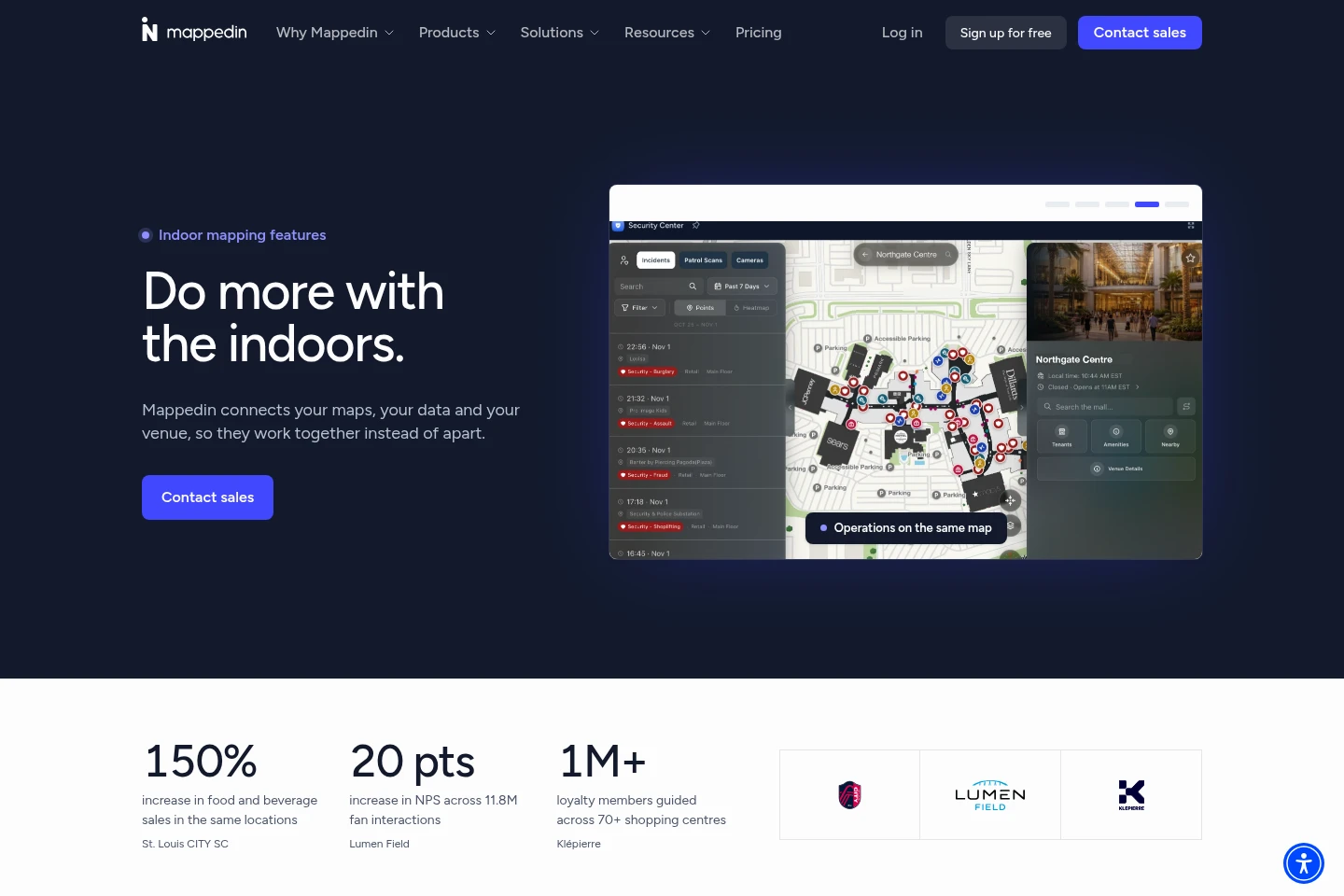
Gives venue teams a shared location context for operations, security, facilities, leasing, and analytics. Teams can view linked information and use location data to coordinate responses and understand visitor movement.
Pricing
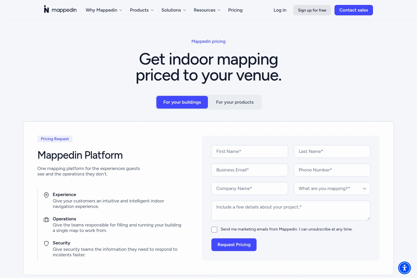
Mappedin is a subscription service priced by the area of the building, with scaled pricing for larger or more complex environments. Compare the venue’s size and complexity and the contract term; monthly billing has a higher effective monthly rate than longer terms.
| Plan | Price | Included features and limits |
|---|---|---|
| Mappedin Platform | Custom subscription pricing |
|
Monthly billing offers more flexibility but a higher effective monthly rate; discounts are offered for longer contract terms. Professional map-making services are available for an additional fee.
Use cases
Create and maintain a building map
When a venue needs an interactive representation of its indoor spaces, provide existing CAD, PDF, or BIM floor plans for mapping. The resulting geo-referenced map can be updated as tenants, rooms, and routes change.
Guide visitors to indoor destinations
When visitors need to find places across a building or campus, they can search a destination on the web, in an app, at a kiosk, or on digital signage. Mappedin provides turn-by-turn directions, with step-free routing and indoor positioning where supported.
Locate venue systems and records
When operational tools refer to the same place by different names, connect their records to locations on a shared map. Venue teams can relate facilities, security, work-order, and guest information to a common physical location.
Coordinate venue operations
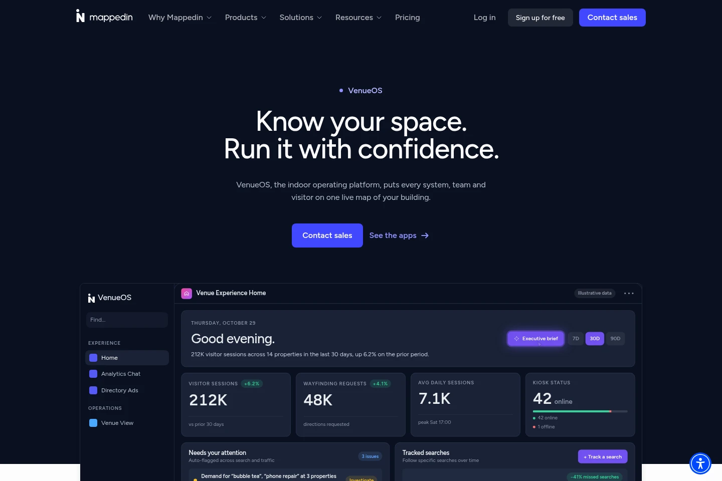
When teams need to understand activity across a venue, use a shared live map to view location-linked systems and data. VenueOS supports workflows involving security, facilities, leasing, visitor experience, and analytics.
Limitations
Mappedin subscriptions are priced according to building area; larger multi-building campuses or cities receive scaled pricing based on environment size and complexity.
Monthly billing is available at a higher effective monthly rate than longer-term contract options, for which discounts may be offered.
Indoor positioning can show a visitor's location only where the venue supports it.
Professional map-making services are available for an additional fee.
Who it is for
Operators of airports, malls, stadiums, hospitals, and other complex venues who need maps tied to building operations.
Venue experience and marketing teams that need searchable maps and visitor wayfinding across buildings.
Facilities and security teams that need to locate assets, incidents, and work records on venue maps.
Software and hardware vendors seeking indoor mapping capabilities for their own products.
FAQ
What does Mappedin indoor mapping software do?
It turns floor plans into interactive, searchable indoor maps and connects those maps to building systems. The shared map can support wayfinding, digital signage, operations, security, and analytics.
What is VenueOS?
VenueOS is Mappedin’s platform for connecting building systems, teams, and visitor experiences to one live indoor map. It can bring together data from systems such as building management, sensors, BIM and CAD models, cameras, and work-order tools.
Which floor-plan files can be used to create a map?
Mappedin can start from existing floor plans, including CAD, PDF, or BIM files. The pricing page also lists DWG, DXF, PDF, PNG, JPEG, and WebP formats for professional map-making services.
How do visitors get indoor directions?
Visitors search for a destination on the web, in an app, at a kiosk, or on digital signage and receive turn-by-turn directions across floors and buildings. Step-free routes are available, and indoor positioning is available where the venue supports it.
How is Mappedin priced?
Mappedin is a subscription service priced according to a building’s square footage or square meters. Larger, multi-building campuses or cities receive scaled pricing based on their size and complexity; contract options include month-to-month, annual, and multi-year.
Can I try Mappedin before committing?
Yes. You can request a demo or get started mapping your space for free. The free start option is not presented as a named ongoing paid subscription plan.
Comments