

- Monthly visits
- 2,207
- 2026-09
GC2 - A PostGIS backend for geospatial applications
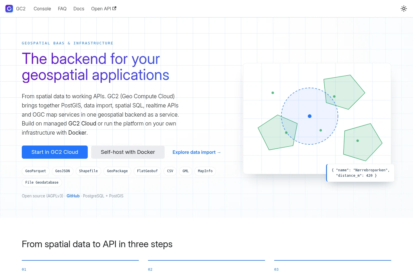
GC2 (Geo Compute Cloud) is a geospatial backend as a service built on PostgreSQL and PostGIS. Import spatial datasets, query them with spatial SQL, REST, WebSocket or GraphQL, and publish layers through OGC APIs and WMS/WFS. Use managed GC2 Cloud, which is free during beta, or deploy the AGPLv3 platform on your own infrastructure with Docker.
- AI Data Tools
- Data Analysis
- MCP Servers
- PostGIS backend
- geospatial APIs
- spatial data platform
Capabilities
Spatial data import
Import spatial datasets into PostGIS tables. Supported inputs include GeoParquet, GeoJSON, Shapefile, GeoPackage, FlatGeobuf, CSV, GML, MapInfo and File Geodatabase, with coordinate reference system and reprojection options.
Spatial queries and APIs
Query PostGIS data and expose it through APIs. Use parameterized SQL over REST or WebSocket, auto-generated GraphQL, and OGC API Features and Maps or WMS/WFS services.
Scheduled imports and snapshots
Keep database tables synchronized from files, WFS services and feeds on a cron schedule. Runs are tracked, imports are atomic, and GeoParquet or FlatGeobuf snapshots can be queued after an import.
Authentication and access control
Control access to spatial data with OAuth 2.0, sub-users, table-level privileges and SQL rules. OGC services apply the same privileges and geofence rules as WMS/WFS.
Developer tools and functions
Build connected applications with the TypeScript SDK, OAuth helpers and realtime subscriptions with server-side filtering. Run Node.js or Python functions on demand, on a schedule or in response to events.
Pricing
GC2 Cloud is currently free during beta, with billing tiers not yet available; self-hosting uses the open-source stack on your infrastructure. Compare the managed service's stated beta limits with the control and operational responsibilities of self-hosting.
| Plan | Price | Included features and limits |
|---|---|---|
| GC2 Cloud | Free during beta |
|
| Self-hosted | No listed price |
|
The FAQ says GC2 is in beta and has no pricing tiers. The managed cloud is described as free during beta; no payment amount or billing interval is stated for self-hosting.
Use cases
Publish spatial datasets as APIs
When an application or GIS client needs access to stored spatial datasets, import them into PostGIS and publish layers through REST, GraphQL, OGC API Features and Maps, or WMS/WFS. The resulting services provide queryable data and map outputs.
Build maps with live spatial data
When a web map or spatial dashboard must reflect table changes, connect through the SDK or WebSocket subscriptions and apply server-side filtering. Subscribers can receive changes without creating a separate synchronization pipeline.
Schedule spatial data imports
When tables need regular updates from files, WFS services or feeds, configure imports on a cron schedule. GC2 tracks runs and makes each import atomic; a snapshot can also be queued after each run.
Limitations
The managed GC2 Cloud service is free during beta, and its FAQ lists limits of 10 tables and 10 sub-users.
OGC API Features provides read-only REST access to published layers; editing is described through WFS-T instead.
Who it is for
Developers building applications that query or serve spatial data
GIS teams publishing datasets for GIS clients and web maps
Operators choosing managed PostGIS infrastructure or self-hosting
FAQ
What is GC2?
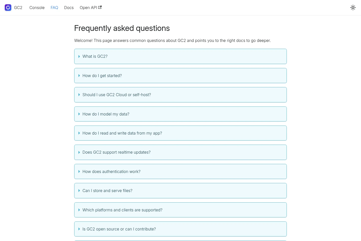
GC2 is a geospatial backend as a service and infrastructure platform built on PostgreSQL and PostGIS. It imports spatial data, supports spatial SQL and GraphQL queries, and connects maps and GIS tools through realtime APIs and OGC WMS/WFS services.
How can I get started with GC2?
Choose managed GC2 Cloud or self-host with Docker, then follow the Getting started guide to create a schema and table. The FAQ links to the cloud console, self-hosting instructions and the guide.
What are the GC2 Cloud limits during beta?
The FAQ lists limits of 10 tables and 10 sub-users for the beta service. It also says there are no pricing tiers at this time.
Can GC2 send realtime updates?
Yes. Applications can subscribe to data changes to keep web maps, field data and spatial dashboards up to date. The FAQ points to the realtime documentation.
Can I self-host GC2?
Yes. The open-source stack can be deployed with Docker Compose on your infrastructure. The listed stack includes the app, WebSockets, PostGIS and Redis, and the platform is under AGPLv3.
Comments