Atlas - Build interactive web maps effortlessly
"The future of mapping isn't about staring at static images—it's about interacting with dynamic data that tells stories. Atlas makes this possible for everyone."
Breaking Free From Clunky GIS Systems
Let's be honest—traditional GIS software feels like using a typewriter in the age of ChatGPT. Atlas changes all that. It's not just another mapping tool; it's a complete reimagining of how we work with spatial data.
Here's why professionals are ditching their old systems:
- 🌍 Browser-based magic: No installations, no updates—just open and create
- ⚡ Real-time collaboration: Work with teammates like editing a Google Doc
- 🧩 50+ analysis tools previously only available to GIS PhDs
The Atlas Difference: Simplicity Meets Power
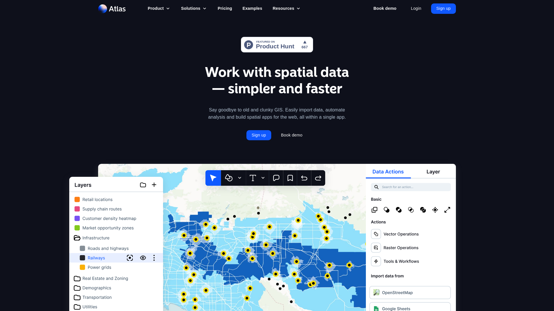
Visualize Like a Pro (Without Being One)
The magic happens in three steps:
- Import anything: CSVs, Shapefiles, GeoJSON—even connect to remote servers
- Analyze effortlessly: Heatmaps, territory optimization, routing—all with clicks, not code
- Share instantly: Public links, embedded maps, or team collaborations
Who's Using Atlas?
From my experience working with spatial data teams, these groups benefit most:
- 🏪 Retail chains optimizing store locations
- 🚚 Logistics companies mapping delivery routes
- 🏢 Real estate firms analyzing market potential
- 🌳 Environmental groups tracking conservation efforts
Atlas in Action: Real-World Superpowers
Case Study: Territory Optimization
One sales team I worked with reduced travel time by 37% using Atlas' travel time analysis. They:
- Imported customer locations
- Added sales rep home bases
- Let Atlas automatically create balanced territories
- Adjusted with simple drag-and-drop
All in under 30 minutes—what used to take weeks.
Why TechCrunch Called It "The Figma of Geospatial Data"
The comparison makes perfect sense:
| Feature | Figma (Design) | Atlas (Maps) |
|---|---|---|
| Collaboration | Real-time team editing | Simultaneous map building |
| Accessibility | Browser-based | No install needed |
| Learning Curve | Easy for beginners | GIS newbies welcome |
Getting Started With Atlas
Your First 30 Minutes
Here's what I recommend to new users:
- Play with sample data (no commitment needed)
- Try the Blueprints—guided tutorials for common workflows
- Join Atlas Academy—free courses on spatial analysis
Pricing That Makes Sense
Unlike some GIS platforms that charge per user or feature, Atlas keeps it simple:
- Free tier for exploration
- Team plans that scale with your needs
- No surprise charges for viewers or commenters
The Future of Mapping Is Here
Atlas represents a fundamental shift—from GIS as a specialist tool to spatial analysis as a universal skill. Whether you're:
- 📊 A business analyst looking for insights
- 🏙️ An urban planner visualizing city data
- 🚀 A startup founder mapping customer density
...Atlas removes the technical barriers that used to stand in your way.
Ready to experience modern GIS? Try Atlas free today and see why teams call it "Google Docs for maps."
Pro Tip: Bookmark the Atlas Documentation—it's the most comprehensive resource I've seen for any GIS platform.
Features
Data Import
Supports 20+ file formats including CSV, GeoJSON, KML, and Shapefile.
Spatial Analysis
Perform advanced analyses without prior GIS expertise.
Interactive Maps
Create and share interactive web maps with ease.
Open Data Integration
Query and enrich datasets with sources like OpenStreetMap.
Traffic(2025-04)
Monthly Traffic
Traffic Source
Top Keywords
| Keyword | Traffic | Volume | CPC |
|---|---|---|---|
| chernobyl exclusion zone definition | 449 | - | |
| atlas map | 368 | 14570 | 0.45 |
| mercator projection | 323 | 48590 | 1.68 |
| copernicus open access hub. ... | 275 | - | |
| rivers of south america map | 260 | 180 | - |
Source Region
Whois
| Domain | atlas.co |
| Creation Date | 2025-04-21 23:59:59 |
| Last Updated | 2024-08-10 20:31:43 |
| Domain Status | clienttransferprohibited, clientdeleteprohibited, clientrenewprohibited, clientupdateprohibited, //icann.org/epp |
| Registrar | GoDaddy.com, LLC |
| Registrar IANA ID | 146 |
| Registrar URL | whois.godaddy.com |
| Registrant Organization | Domains By Proxy, LLC |
| Registrant State | Arizona |
| Registrant Country | US |
Featured Products
Atlas
Napkin
Eraser
Storydoc
Rosebud
GptExcel
MyMind
Roboflow
Related Categories
Copy embed code
Alternative Products

Preswald

dbits.io-gXkzofjU9C

Atlas
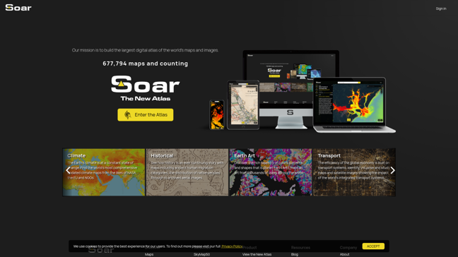

Soar
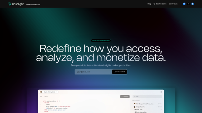

Baselight
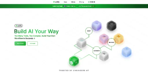

Unify
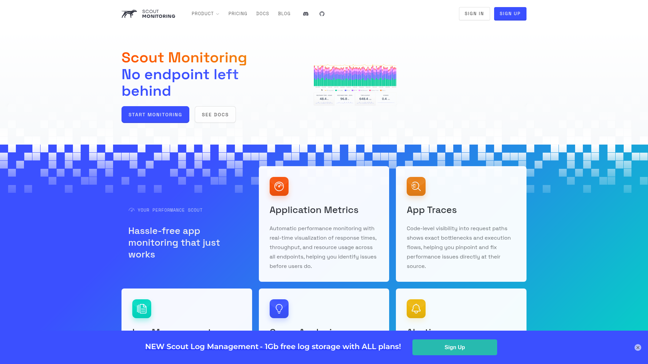

ScoutAPM